Visitor Information
Sauvie Island, originally Wapato Island, is approximately 10 miles north of Portland, Oregon. It is the largest island in the Columbia River and one of the largest islands in the U.S. Located at the junction of the Columbia River to the east, Willamette River to the south and Multnomah Channel to the west, the island’s northern half is a wildlife refuge and the southern half is predominantly rural farmland with small residential enclaves. Access to the island is by the Wapato Bridge (Sauvie Island Bridge) on Highway 30.
SI Beach Parking Permit Info
- - -
IMPORTANT
- - -
SI Beach Parking Permit Info - - - IMPORTANT - - -
To address public safety issues and protect wildlife area habitat at Sauvie Island Beaches, the ODFW Commission adopted a limited entry parking program for summer weekends and holidays at Sauvie Island's Beaches. Under the new program, from June 15th to Labor Day, vehicles will need to have a "Sauvie Island Beaches Parking Permit" ($10 daily) to park at Walton, Collins, and North Unit beaches on weekends and holidays. The traditional Wildlife Area Parking Permit will not be valid in these parking areas but can be used at other locations on the wildlife area (Willow Bar, Gilbert River boat ramp, Warrior Rock) and on summer weekdays. You can read the full statement from ODFW here.
Go to MyODFW.com and click Buy License.
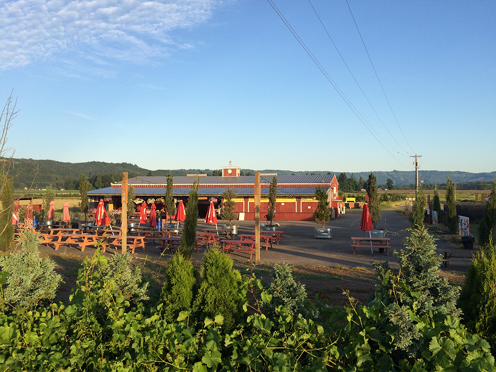
Businesses on Sauvie Island
-
![Bella Organic Farm Stand]()
Farm Stands
VARIOUS LOCATIONS
Sauvie Island has many farms where you can buy fresh, seasonal produce and local agricultural products during late Spring, Summer, and early Fall. -
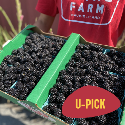
![Blackberries at Topaz Farm]()
U-Pick
VARIOUS LOCATIONS
Farm stands are scattered around the island where you can pick the freshest fruits and vegetables.
-
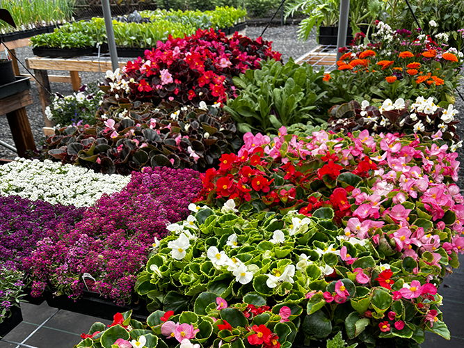
![Island Gardens Spring greenhouse]()
Nurseries and Garden Plants
VARIOUS LOCATIONS
A variety of nurseries are open to the public, each with a unique selection.
-
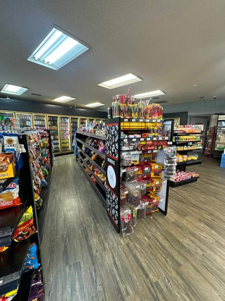
![Cracker Barrel Grocery Store]()
Snacks, Supplies, & Gifts
VARIOUS LOCATIONS
Convenient, local stores for snacks, beverages, small grocery items, gifts, and recreational supplies.
-
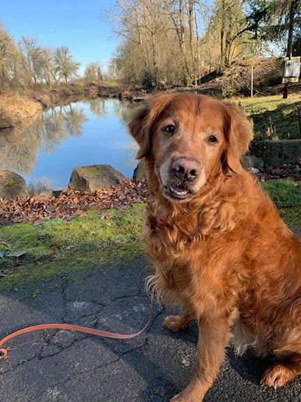
![Such a good boy at Charlton Kennels]()
Kennels
VARIOUS LOCATIONS
Special places to board your best friend.
-
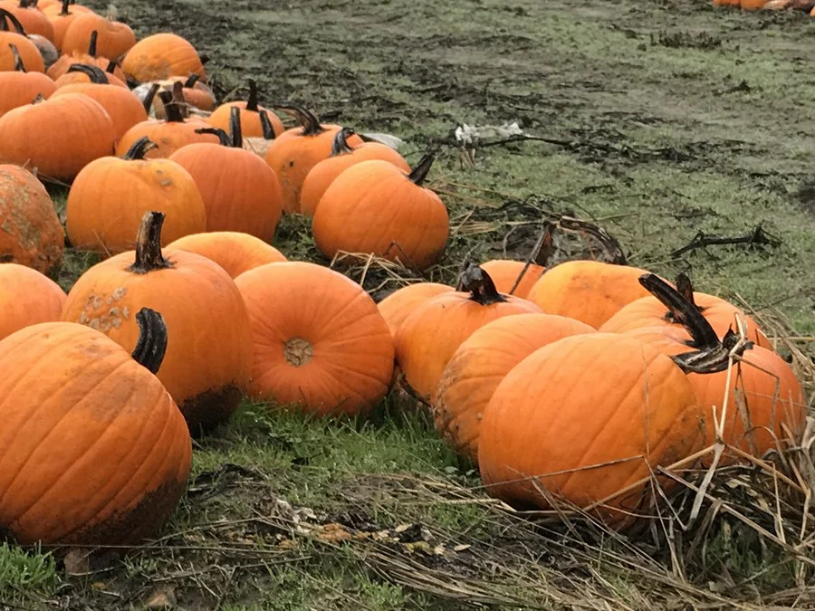
![Sauvie Island Pumpkin field]()
Pumpkin Patches & Corn Mazes
VARIOUS LOCATIONS
Celebrate Fall with pumpkin patches, mazes, and caramel apples at many of the farm stands around Sauvie Island.
Land Recreation
-
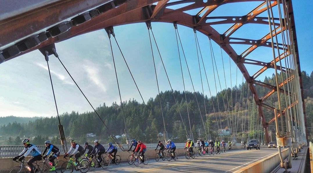
![race pace group bike ride]()
Biking
THE LOOP
From a joyride to a race pace group ride, Sauvie Island is the perfect place to bike. The most popular ride is the 12-mile loop around the lower end of the island comprised of Sauvie Island Road, Reeder Road, and Gillihan Road. -
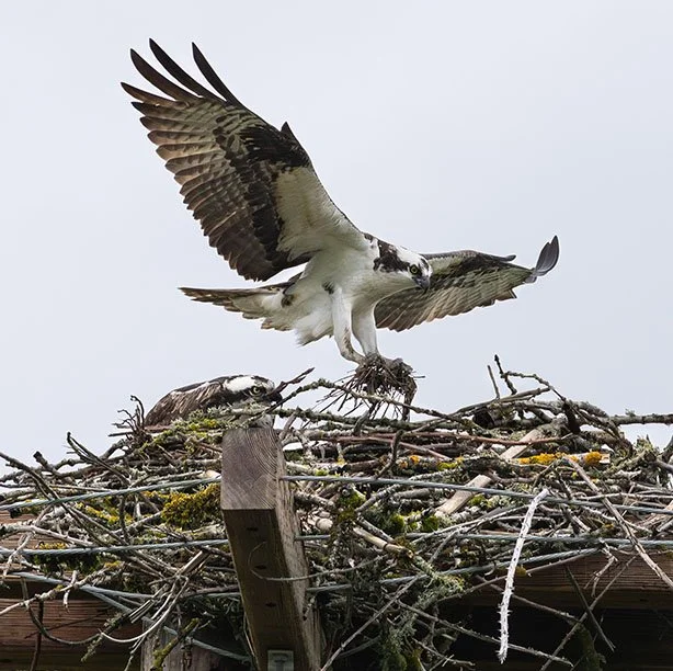
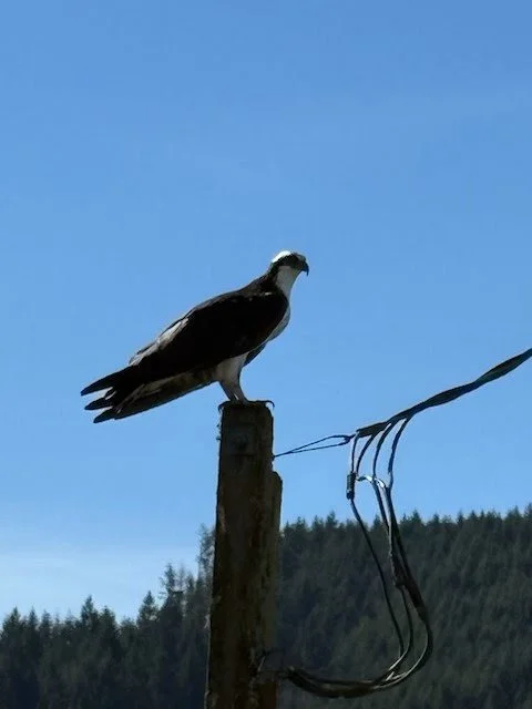
![Osprey by Amanda Stern]()
Birding
VARIOUS LOCATIONS
From Bald Eagles to Osprey to Candian Geese and Sandhill Cranes, Sauvie Island is a birder’s paradise. Over 250 bird species can be sighted on the island!
-
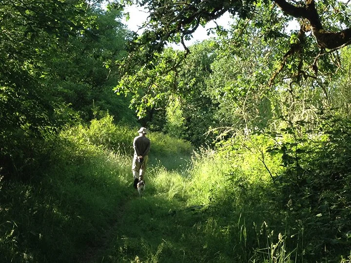
![Hiking on Sauvie Island]()
Hiking
VARIOUS LOCATIONS
Fall-Winter-Spring-Summer, there are always plenty of hiking trails to enjoy on Sauvie Island.
-
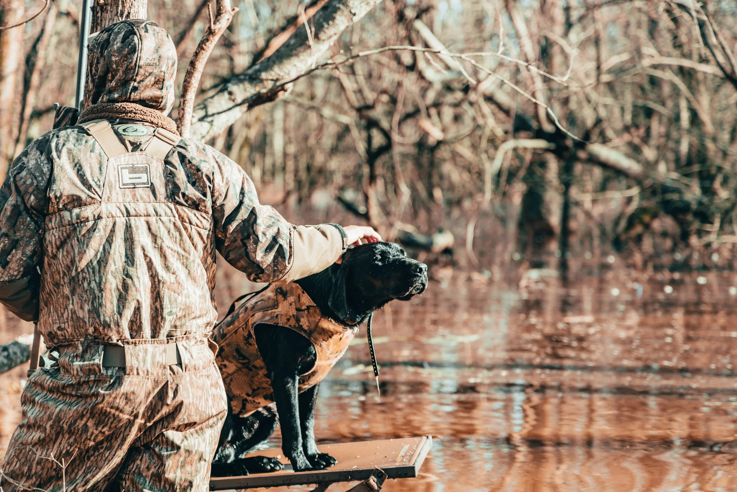
![bird hunting]()
Bird Hunting
VARIOUS LOCATIONS
Some of the best duck hunting in the country takes place on Oregon’s Sauvie Island Wildlife Area (SIWA).
-
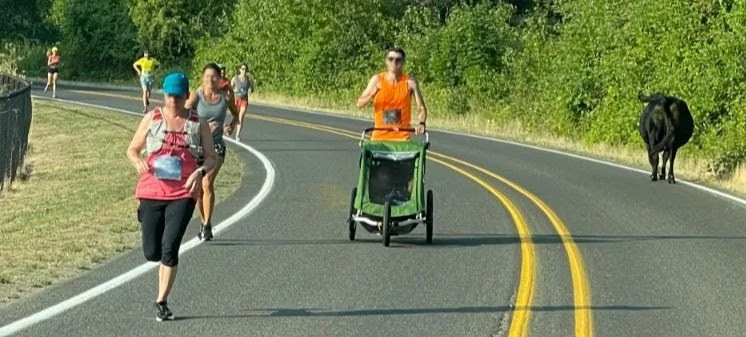
![foot race flat on Sauvie Island]()
Running & Walking
THE LOOP
Sauvie Island’s 12 mile loop is perfect for casual or serious runners & walkers.
-
![wildlife]()
Wildlife Viewing
VARIOUS LOCATIONS
ODFW’s Sauvie Island wildlife viewing decks are excellent ways to see birds and other wildlife.

Water Recreation
-
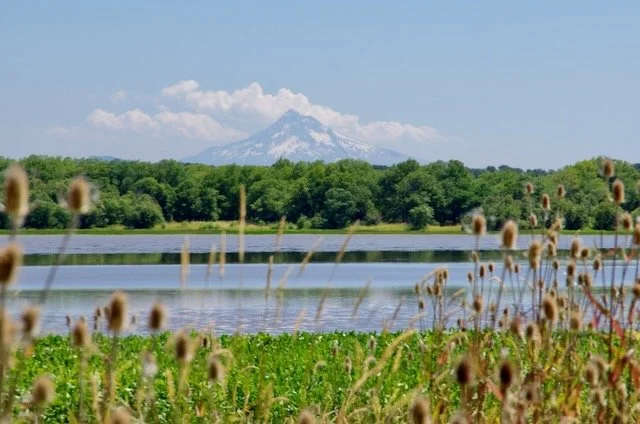
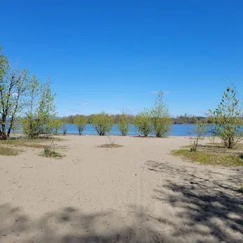
![Sturgeon Lake Sauvie Island]()
Waterways
VARIOUS LOCATIONS
Sturgeon Lake, Virginia Lake, Gilbert River, Columbia River, Multnomah Channel, Willamette River are just a few of the waterways on Sauvie Island.
-
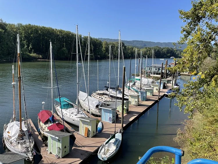
![Sailboat morage on Sauvie Island]()
Boating & Kayaking
VARIOUS LOCATIONS
From the Columbia River, with large ships and sailboats, to the Cunningham Slough with kayaks, Sauvie Island has options for being on the water.
-
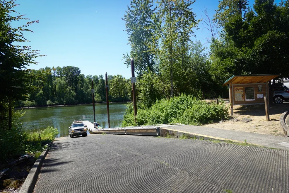
![Sauvie Island boat ramp]()
Boat Ramps
15475 NW FERRY ROAD + OTHER LOCATIONS
There are three Sauvie Island boat ramps offering boaters access to the Multnomah Channel, the Willamette River, and the Columbia River.
-
![fishing on Gilbert River]()
Fishing
VARIOUS LOCATIONS
The lakes on the island provide warm-water varieties of fish such as catfish, perch, and crappie. The Columbia and Willamette rivers offer salmon and steelhead fishing during open season. -
![]()
Wildlife Viewing
VARIOUS LOCATIONS
Sauvie Island Wildlife Area (SIWA) is one of several wetland-focused wildlife areas managed by the Oregon Department of Fish and Wildlife.
Natural Areas
-
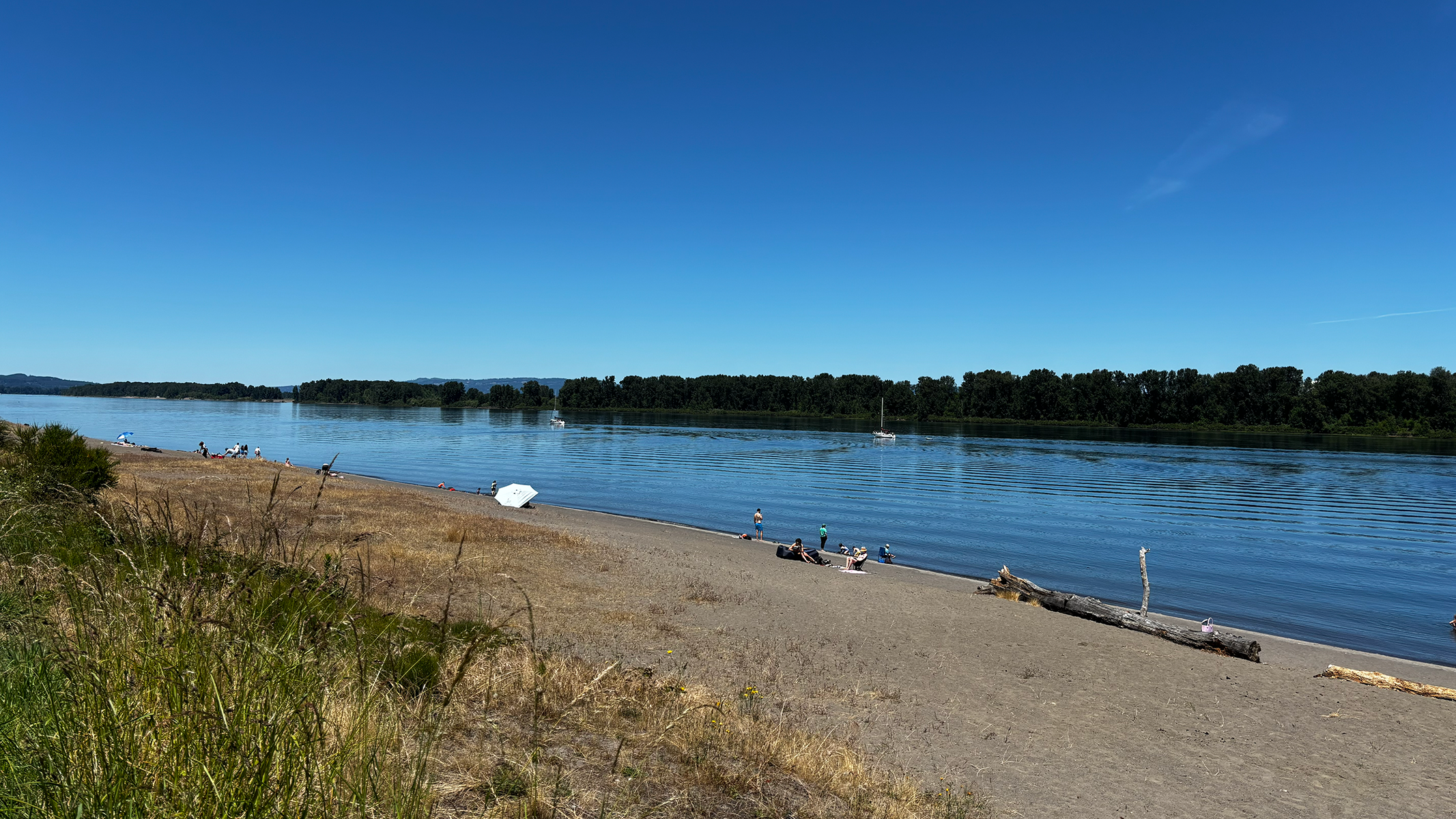
![Beach on Sauvie Island]()
Beaches
VARIOUS LOCATIONS
Visitors parking at Walton, Collins, and North Unit beach areas need to have a Sauvie Island Beaches Parking Permit to park on Summer weekends and holidays at the beaches’ parking lots. -
![Oak Island on Sauvie Island]()
Oak Island
NW OAK ISLAND ROAD
Oak Island is a grassy field graced by tall stands of oak trees at its edges and hemmed in by water on three sides; thereby, technically making it a peninsula. -
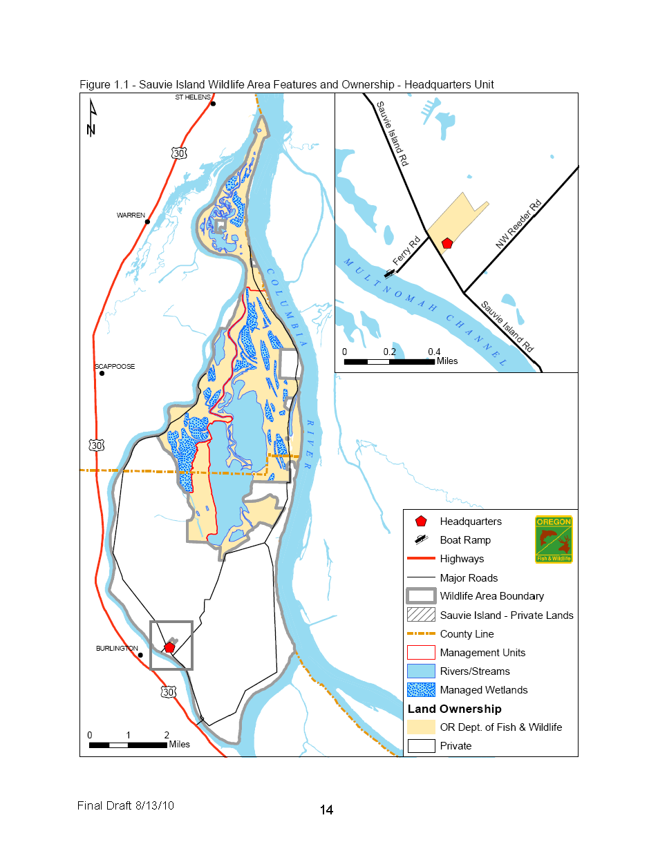
![Map of Sauvie Island Wildlife Area]()
Sauvie Island Wildlife Area
HEADQUARTERS: 18330 NW SAUVIE ISLAND ROAD
11,543 acres of state-owned habitat for wintering waterfowl, swans, herons, sandhill cranes, bald eagles and over 250 other species. -
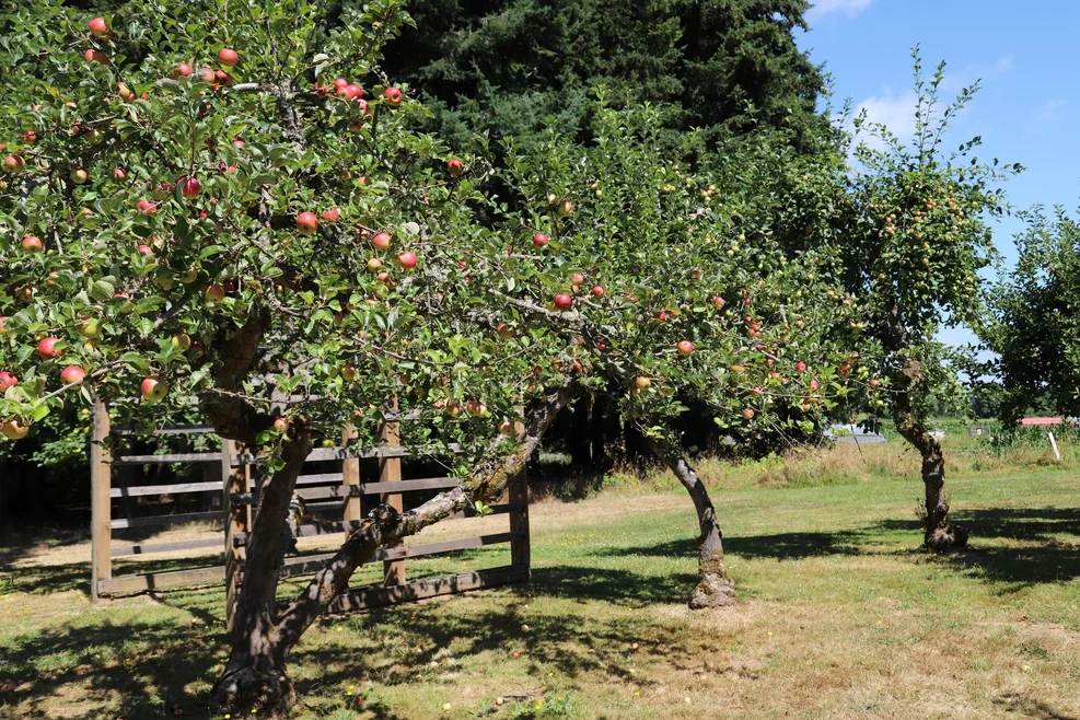
![Howell Territorial Park apple trees]()
Howell Territorial Park
13901 NW HOWELL PARK ROAD
Nestled among farms on Sauvie Island, Howell Territorial Park is a great place for picnickers, bird watchers and history buffs. The region's natural and cultural history come together in one serene setting at this 120-acre park. -
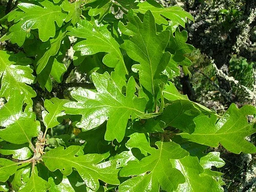
![leaves of Oregon While Oaks]()
Oregon White Oaks
THREE LOCATIONS
Icons of the Pacific Northwest
-
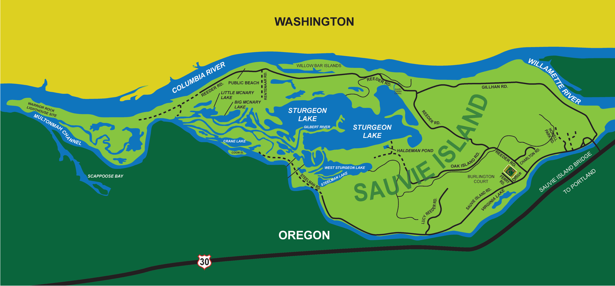
![Map of Sauvie Island waterways]()
Waterways
VARIOUS LOCATIONS
Sauvie Island, located at the confluence of the Columbia River, Willamette River, and Multnomah Channel, offers extensive, tranquil waterways ideal for kayaking, paddle boarding, and birding. Key water features include the expansive Sturgeon Lake, the navigable Gilbert River, and scenic, calm paddling spots like Scapus Bay and Cunningham Slough.
-
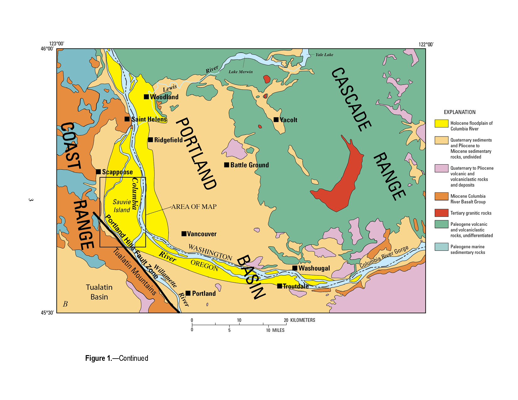
![map of Sauvie Island Geology]()
Sauvie Island Geology
VARIOUS LOCATIONS
Sauvie Island is a low-lying, alluvial island in the Portland Basin formed over the last million years (Pleistocene) by sediment deposition from the Columbia and Willamette Rivers.
History and Historical Areas
-
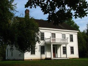
![Bybee Howell House on Sauvie Island]()
Bybee Howell House
13901 NW HOWELL PARK ROAD
The historical Bybee-Howell House, built in 1856, is located within Howell Territorial Park on the south side of Sauvie Island. Visitors can stop for a picnic, walk through the pioneer orchard behind the house and learn about the history from interpretive signs placed around the property.
-
![Map of Fort William on Sauvie Island]()
Fort William Historical Site
SAUVIE ISLAND
Fort William was a fur-trading outpost built by American Nathaniel Jarvis Wyeth in 1834 on the Wappatoo Island. -
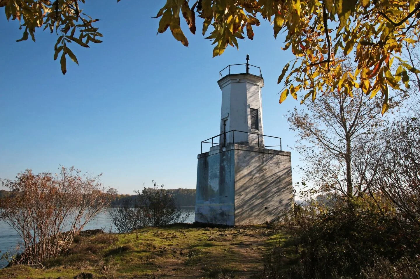
![Warrior Rock Lighthouse on Sauvie Island]()
Warrior Rock Lighthouse
NORTHERN TIP SAUVIE ISLAND
The Warrior Point Trailleads hikers along Columbia River views to Oregon’s tiniest lighthouse. -
![Map of Sauvie Island Geology]()
Geologic History
VARIOUS LOCATIONS
Thumbnail Geologic History of Sauvie Island (and environs).
-
![Nathaniel Wyeth and the Hudson's Bay Company]()
Island History, by Donna Matrazzo
-
![Sturgeon Lake on Sauvie Island]()
Island History, by Chet Orloff
-
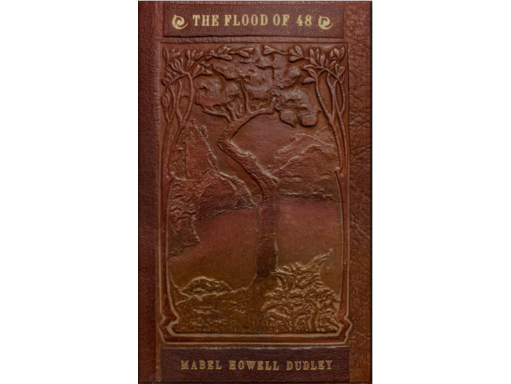
![Flood of 48 book cover]()
The Flood of 48, by Mabel Howell Dudley
The Flood of 48 represents a series of articles written by Mabel Dudley Howell for monthly community periodical, The Sauvie Island Outlook, edited by Jean Fears. The articles appeared in 8 issues from May 1994 through January 1995. The Sauvie Island Outlook ceased publication August 1999.

Additional Resources
The Oregon Department of Fish & Wildlife maintains a complete Visitors Guide to Sauvie Island Wildlife areas.
Travel Oregon features Sauvie Island in their Places to Go.
Danielle Peterson featured Sauvie Island in a 2015 Salem Statesman Travel Journal article.
Portland’s Metro website contains more information about the boat ramp, birding, and the Howell Territorial Park.
TravelPortland’s website highlights some of Sauvie Island’s activities.
Pines&Vines Sauvie Island Beach article link.
Oregon Hikers Oak Island article link.
Additional Sauvie Island biking information from oregon.com.
Bird Alliance of Oregon website link.
For additional kayaking information: Kayakhelp website link.
National Park Service: Sauvie Island and the Hudson’s Bay Company
National Park Service: Wapato
Island Road Safety
Posted Speed limits:
Sauvie Island Road is 45 mph. Gillihan Road has been reduced to 45 mph. Wapato (Sauvie Island) bridge is 30mph.
Share the Road Safely:
Roads on Sauvie Island have limited shoulders which present challenges to sharing the road. Curves, topography, fog and/or wet conditions greatly reduce visibility. Wide, slow-moving farm equipment may be present in the roadway. Please exercise caution and travel safely using these measures:
Pass Safely: The driver of a motor vehicle may only pass a bicyclist by driving to the left when roadway to the left is unobstructed from other traffic and if driver provides sufficient safe passing distance.
Slow Farm Equipment: Use caution when passing farm equipment. Farm vehicles are often wider than they appear and have large blind spots which require additional sight distance and space to safely pass.
Pedestrians on Road: Use extra caution when encountering pedestrians on roadways. Pedestrians should walk on road shoulders as far to the edge as practicable and facing against traffic.
Be Courteous: No more than two bicycles may ride alongside each other within a single lane at any time and only so long as the two bicycles do not impede the normal and reasonable movement of traffic
Ride with Traffic: Bicyclists must ride to the right and in the same direction as traffic. Never ride a bicycle against traffic. Motorists aren’t looking for bicyclists riding on the wrong side of the road.
Be Seen: Ride a well-equipped bike. Always use a headlight and a rear reflector at night when visibility to poor.
Multnomah County Transportation Program
Dangerous intersections:
At three intersections on the island one street requires traffic to STOP and the intersecting traffic is not required to stop. These are:
Where Reeder Rd intersects with Sauvie island Road; Reeder Road traffic must stop while Sauvie Island Road traffic does not.
Where Reeder Rd intersects with Gillihan Road. Reeder Rd traffic turning right onto Gillihan and Gillihan Rd traffic turning left on Reeder are required to stop. However, Gillihan Road traffic continuing onto Gillihan has right of way in both directions.
Where Gillihan Road intersects with Sauvie Island Road (northbound @ turnaround by bridge). Gillihan Road traffic must stop while Sauvie Island Road traffic does not.
Additional areas of concern:
When turning onto Oak Island Road from Reeder Road drivers are required to travel across the oncoming traffic lane. Be cautious here!
Foliage planted along the parking lot at the foot of the bridge blocks motorists’ view of traffic approaching from the bridge. Leaving the island from Gillihan Road one must pull out to view the traffic conditions. Also note that cars coming off the bridge often turn into the oncoming lane.
Access to Wapato Park along Sauvie Island Road can be congested with both vehicles and deer…slow here!
Additional Island Road Hazards:
No Shoulders. The paved roads on Sauvie Island have no shoulders; bikers on narrow road tires and bikers pulling children in carts BEWARE!
Dike Road. The South end of Sauvie Island Road is a dike road; the dropoff on either side is steep. Be careful!
Farm Equipment. Vehicles and bicyclers are required to share two-lane, bi-directional roads with farm equipment. Farmers and Agricultural businesses are very good about transporting their large equipment during night hours; however, you may encounter these large and slow-moving pieces of equipment; if you encounter them it is suggested that you please stop and pull over.
Blind curves. Gillihan and Reeder Roads have several blind curves causing vehicles to brake hard when coming upon bicyclers too far into the lane or not riding single-file.
Pulloff to Observe Wildlife. Don’t stop along roadway to observe wildlife!
Wildlife on Roads. Be cautious, at all times, for wildlife on the roads
Heavy Traffic. With the nearly 1.5 million annual visitors the island experiences, traffic may, especially during peak seasonal and event periods, be extremely heavy. With the new bridge and traffic control assistance the problem has been greatly reduced.