Land Recreation
Walking & Running
The most popular route is the 12-mile loop around the lower end of the island comprised of Sauvie Island Road, Reeder Road, and Gillihan Road. There is a large tourist information map on the parking lot premises at the foot of the island bridge.
Special walking/running considerations of the island:
This is an agricultural zone, which can pose the following safety concerns:
slow-moving farm equipment is on the road
tall crops alongside the road can present challenging visibility for walkers/runners and cars.
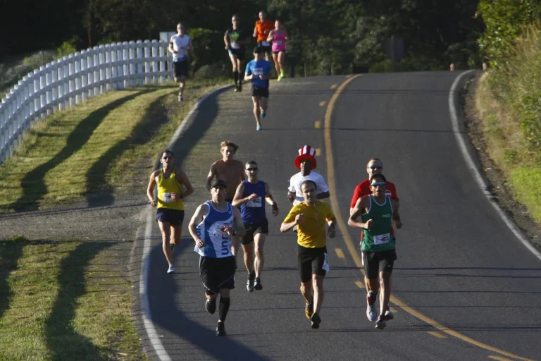
The island roads have neither shoulders nor a walking/running path; consequently walkers/runners have to share the road with vehicles. As the paved roads are only two-lane, it is suggested that walkers/runners are single file to allow room for cars to pass by safely without entering into oncoming lanes.
The first 1.5 miles of Sauvie Island Rd is a dike road; bikers take extreme caution here; as drop off on both sides of the road can be extremely steep.
At three intersections on the island one street requires traffic to STOP and the intersecting traffic is not required to stop. These are:
Where Reeder Rd intersects with Sauvie island Road; Reeder Road traffic must stop while Sauvie Island Road traffic does not.
Where Reeder Rd intersects with Gillihan Road; Reeder Road traffic must stop while Gillihan Road traffic does not.
Where Gillihan Road intersects with Sauvie Island Road (northbound @ turnaround by bridge). Gillihan Road traffic must stop while Sauvie Island Road traffic does not.
Remember, these considerations are especially important as the island is now experiencing over 1.5 million visitors per year.
Foot Traffic Flat
Foot Traffic Flat on the 4th of July supports our community associations. Community volunteers at a water station to help support this event.
Foot Traffic Flat